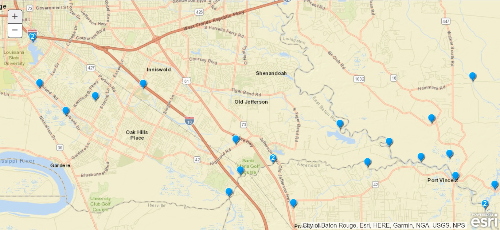
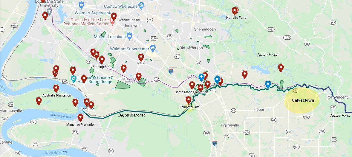
 My residence in southeast East Baton Rouge parish is less than 1-1/5 miles from the Amite River and 4-1/2 miles as the crow flies from Bayou Manchac. Having an enjoyment of paddling I’ve been on several excursions on the lower Manchac out to the Amite and back. I discovered a boat ramp into Bayou Manchac at the end of Ducros Rd, off Hwy. 42 in Prairieville. I’ve not paddled down the Amite itself - too chicken - as I’ve read of the hazards of current, fallen trees and snags. Manchac seems more predictable. I’ve known vaguely of Bayou Manchac’s historical significance and understand it to form a boundary between parishes, and I knew the French explorer Iberville traveled through the area, but until recent reading I didn’t appreciate this unlikely bayou’s international significance and role in our nation’s history. I enjoyed reading Mary Ann Sternberg’s Winding Through Time which chronicles this history and provides an appreciation for the bayou and settlements along it’s banks. The interactive map below locates many of the historic places and routes described in the timeline further down this page. Items are largely taken from Sternberg’s book.
Right-click on the map below to open in a new window.
Timeline
| Year | Item | Description |
|---|---|---|
| ~1680’s | European Historical Setting | During the late 17th century Great Britain, Spain and France were all actively colonizing the New World. Britain had the 13 colonies, Spain had Florida and southwestern U.S., and France had Canada and now the interior of the continent: the Mississippi valley. |
| 1682 | LaSalle’s voyage | LaSalle and de Tonti decended the Ohio and Mississippi Rivers to Head of Passes where LaSalle planted the cross and claimed the entire drainage basin for France. Aferwards, they turned around and sailed back upriver, never actually reaching the Gulf. This claim did not include West Florida which was Spanish since Columbus’ 1492 claim. |
| 1695 | France occupies West Florida | Though previously claimed by Spain, West Florida from the Appalachicola to Mississippi Rivers was occupied by France. |
| 1699 | d’Iberville’s voyage | Pierre LeMoyne d’Iberville was sent by Lord Pontchartrain, Ministry of the Marine, to complete the job unfinished by LaSalle: find the true mouth of the Mississippi so it could be claimed for France and defended from Great Britain. Iberville sailed from France to Santo Domingo, then to Pensacola and finally to Ship Island. From there indigeneous peoples helped guide Iberville to the river’s mouth. They sailed upriver in smaller craft to the future site of Baton Rouge where he recorded sighting a red pole or tree on the first high ground. Just downriver the explorers consulted with the Bayou Goula tribe who informed Iberville of an alternate, faster route back to their ship. The crew split up, with Iberville and a few of his men, led by an indian guide, proceeding down Bayou Manchac. The remainder of the explorers returned the way they came via the Mississippi River. Despite being promptly abandoned by their indian guide, and considerable overgrowth and blockage of the bayou, Iberville’s team beat the rest of his crew back to Ship Island where their main vessel awaited. |
| 1699 | Manchac place name | “Manchac” is derived from native American words meaning “behind it” or “rear.” It was a back route to the Gulf of Mexico (and the future site of New Orleans.) Manchac was a seasonal distributary of the Mississippi, passable only during the spring flood in small craft and with clearing of snags and debris. |
| 1705 | Fur trade via Manchac | A shipment of furs was recorded from trappers in the Ohio valley down the Mississippi and to New Orleans via Bayou Manchac. Thousands of furs, so we assume a sizable boat. It is unclear how they entered the bayou from the Mississippi. |
| 1763 | Treaty of Paris (1) | France needed to raise money to fund it’s other colonies and wars. It could no longer afford to manage West Florida so it transferred it to Great Britain. |
| 1764 | British seek to open Manchac | Local British rulers sought to open Manchac understanding it saves 10 days voyage to the Gulf. They believed Manchac could grow to become a transhipment community, out-competing New Orleans. |
| 1765 | Abandoned plans to open Manchac | Further site investigation proved this idea infeasible or cost prohibitive. The upper third was too shallow, often dry, and choked with trees. |
| 1767 | Acadians settle San Gabriel de Manchac | Outcasts from Nova Scotia settle communities south of Bayou Manchac, including present day St. Gabriel. |
| 1770 | Bayou Manchac Map | “Draught of the R. Ibbeville”, i.e., Bayou Manchac (Library of Congress) |
| 1771 | Church Bell Cast | Original bell of San Gabriel church was cast in Spain. It has since been moved to the newer, current church. |
| 1773 | Fish kill | Manchac was identified as a “small creek” even having a fish kill due to low, stagnant water. |
| 1775 | American Revolution begins | American Revolution begins with skirmishes, amplified by the Declaration of Independence in 1776. |
| 1775 | Bartram’s Travels | William Bartram, an American naturalist from New Jersey was hired by British interests to conduct an inventory of new world plants. He concluded his journey plying up Bayou Manchac and then walking through the Felicianas into southwest Mississippi before retracing his route home. At the time, pressure was brewing in the 13 colonies which would lead to the American Revolution. Perhaps Bartram traveled only in southern, mostly British or Spanish controlled territories so as to avoid the conflict since he was funded by British interests. |
| 1775 | Bartram Markers | In addition to the marker at Airline Hwy. Park, a historic marker “William Bartram Trail” is set at LSU’s Hilltop Arboretum on Highland Rd. The Bartram marker at Airline Hwy. suggests the party had disembarked downstream closer to the Amite River and were traveling a cleared road (trail) on foot or possibly by mount. A third marker at Burden Museum is the site of the former Burden Plantation on Ward Creek. His travels likely were not in a straight line but represented side trips up bayous exploring and collecting flora. A fourth marker is set at the foot of the I-10 Mississippi River Bridge at South Boulevard indicating he arrived by boat, presumably the Mississippi. A fifth marker is placed north of Baton Rouge along Old Scenic Hwy., northwest of Zachary as the party proceed by horseback into the Felicianas. |
| 1775 | Bartram’s Collection | Bartram encountered a warehousing merchant named Swanson along Bayou Manchac presumably close to the confluence area. Swanson was trusted to package and ship Bartram’s collection of specimens to Fothergill in London. |
| 1775 | Fort San Gabriel de Manchac | A Spanish fort was established on the south bank of Manchac at the Mississippi River, opposite the British Ft. Manchac north of the bayou. The land here was low, so a church and settlement was built further south (St. Gabriel.) |
| 1776 | San Gabriel de Manchac Church | Thought to be the oldest church edifice in the Mississippi valley, this Catholic church was built on higher ground well south of the fort. It was later remodeled, removing the overhanging roofs, adding a steeple, and causing it to more closely resemble New England frame churches. |
| 1779 | Galveztown established | A settlement on the south bank of Manchac near the Amite, Galveztown was named for Gov. Bernado de Galvez of Orleans. A plat showing blocks around a central green and the fort was prepared. |
| 1779 | Spain declares war on Britain | Gov. Galvez marches north from New Orleans, first conquering British Ft. Manchac, then Ft. Richmond (Baton Rouge), and then Natchez. |
| 1780 | West Florida fully Spanish | Galvez then heads east, conquering Mobile and Pensacola. All of West Florida is now again Spanish. Bayou Manchac is Spanish on both sides. |
| 1783 | Treaty of Paris (2) | Britain formally returned West Florida to Spain. |
| 1799 | Isle of Orleans to French | Spain is overburdened and returns the Isle of Orleans and “Louisiana” to France. |
| <1800 | Old Trails | Early trails through the countryside extended from the “convergence” (Manchac / Fountain / Alligator Bayous) east to the Amite River on high ground. It loosely followed the route of Hoo Shoo Too Road, named for a gentleman’s social club. On the Ascension Parish side was the Old Spanish Way, a trail linking St. Gabriel to Galveztown loosely following Hwy. 42. |
| 1803 | Louisiana Purchase | President Thomas Jefferson sought to Purchase the Isle of Orleans to regain control of the Mississippi River trade. He sent Robert Livingston and James Monroe to Paris where Napoleon Bonaparte instead offered that plus all of “Louisiana” - the drainage basin of the Mississippi River. The US Paid $15M for 828,000 square miles. Note that West Florida was not included. |
| 1803 | Claiborne | William Claiborne became the first U.S. Governor of the new Louisiana Purchase. |
| 1803 | Manchac international boundary | With completion of the Louisiana Purchase, Manchac again became an international boundary: U.S. territory to the south and Spanish West Florida on the north bank. |
| 1805 | Galvestown abandoned | Repeat flooding led to abandonment of this site. |
| 1805 | Mail Stage | The mail stage traveled from New Orleans to St. Francisville, stopping in “Manchac” being present day St. Gabriel. |
| 1807 | A duel | Gov. Claiborne and Daniel Clark settled a disagreement with dueling pistols. It occurred on the north bank of Manchac and Claiborne was shot in the thigh, but neither man died. |
| 1807 | Poydras | Julius Poydras was elected the 2nd U.S. Governor of the Orleans territory and Louisiana purchase. |
| 1810 | West Florida Republic | A coup of West Florida men conquered the Spanish held New Ft. Richmond, (renamed Ft. San Carlos by the Spanish), establishing the independent West Florida Republic which lasted 74 days. |
| 1810 | West Florida joins the U.S.A. | The West Florida Republic petitions to join the U.S. and is immediately accepted. It joins as the County of Feliciana. |
| 1812 | War of 1812 | British blockading US coasts to disrupt trade presented the first big challenge for the young country. |
| 1812 | Louisiana statehood | Louisiana becomes a state in the union. Also, Baton Rouge is incorporated. |
| 1814 | Preparing New Orleans for war | General Andrew Jackson sent to New Orleans to prepare and protect the city from British attack. Jackson had all bayous damed and blocked including Manchac. |
| 1814 | Treaty of Ghent | Officially ended the War of 1812, but news traveled slowly to America so fighting did not yet end. |
| 1815 | Battle of New Orleans | British attacked from south of New Orleans but were rebuffed by the Americans who were aided by the pirate Lafitte. |
| 1821 | Audubon in Louisiana | While I’ve seen no evidence that he traveled Bayou Manchac, John James Audubon resided at Oakley Plantation in St. Francisville from 1821 through 1827 working on Birds of America. He and his hired hunters went into the area woodlands and swamps, collecting specimines. Birds of America was published in London between 1827 - 1838 in sections on a subscription basis. |
| 1826 | A permanent dam of Bayou Manchac | Levees were constructed along the Mississippi to protect farmland from flooding. This permanently blocked Bayou Manchac. |
| 1850 | Audubon Plantation | Downstream from Hampton’s Ferry on the north side of Manchac was Audubon Plantation owned by Ascension resident Octavius Bullion. The manor house still exists on Hoo Shoo Too Rd. I assume it’s name was a celebration of the work of the artist in nearby St. Francisville. |
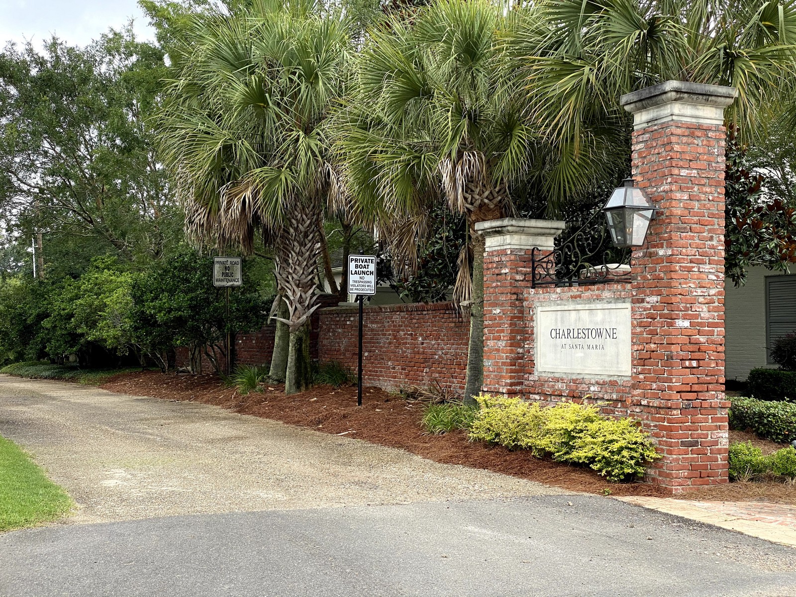
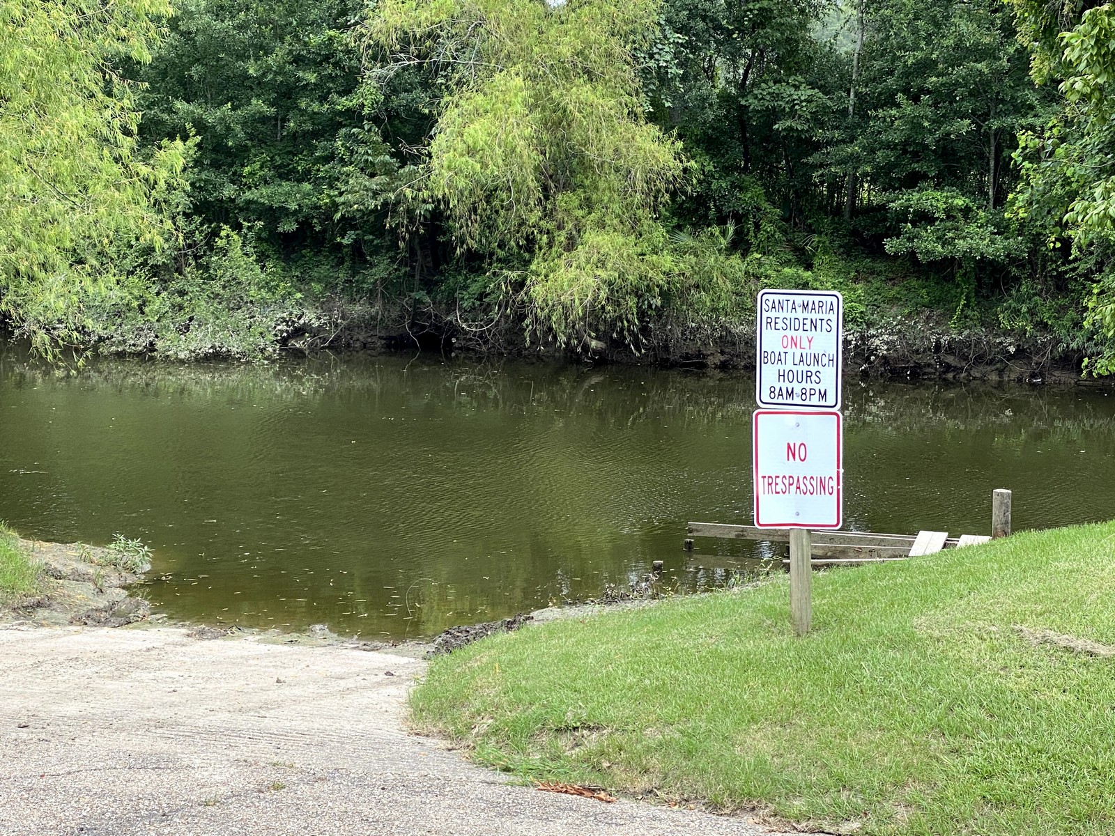
| 1834 | Santa Maria Plantation | Santa Maria manor house constructed on the west bank of Ward Creek at Manchac. King’s Ferry across Manchac was established here. Civil war cannon balls were discovered in an ancient oak removed at Santa Maria. |
| 1862 | Great Crevasse | Early levees between Baton Rouge and Manchac failed, allowing flood waters to spread two miles inland. |
| 1869 | Hope Villa | Hope Villa was established adjacent to Hampton’s Ferry on the north bank of Manchac. A mercantile was established. The community spread across the bayou to include an area in Ascension parish also called Hope Villa. The community was served by packet boats - small steamers - from New Orleans. |
| 1875 | Hampton’s Ferry | A ferry established on the route of the old Jefferson Road between Baton Rouge and New Orleans. It was also used by soldiers during the civil war. |
| 1876 | Federal Timber Act | The Federal Timber Act allowed states to sell swamp and other lands for timber to private interests for as little as 25 cents per acre. Monies raised by the State funded levee construction. Saw mills popped up all around the Maurepas and Pontchartrain basins, and along the Mississippi below Bluff Swamp. |
| 1880 | Manchac cleared | U.S. Congress funds clearing and de-snagging of navigable segments (lower two-thirds) of Bayou Manchac. |
| 1888 | Manchac cleared | U.S. Congress funds clearing and de-snagging of lower Bayou Manchac from Hope Villa to the Amite River. |
| 1895 | Manchac at Ward Turning Basin | The mouth of Ward Creek was dredged and widened at Bayou Manchac creating a turning basin for packet boats serving Santa Maria plantation. This was the effective head of navigation for larger craft. Smaller boats could get further upstream to the confluence and perhaps a bit beyond. |
| ~1895 | Woodstock Plantation’s demise | Woodstock Plantation was a productive plantation on the north bank of Manchac at the Mississippi. A Mississippi River flood in the mid 1890’s destroyed it. |
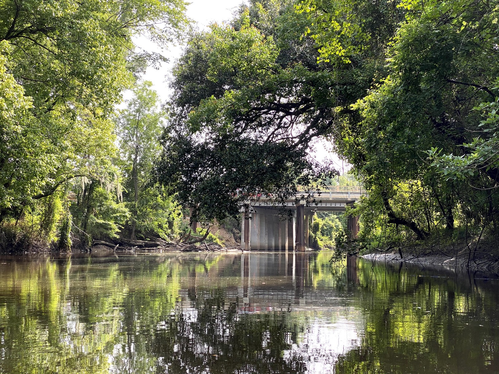
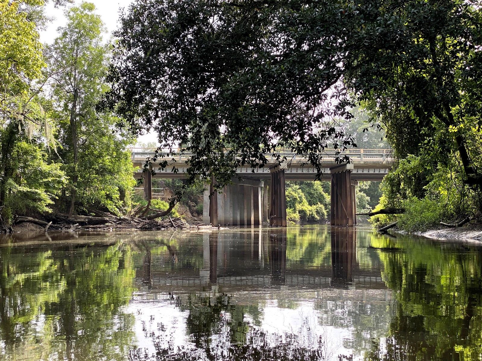
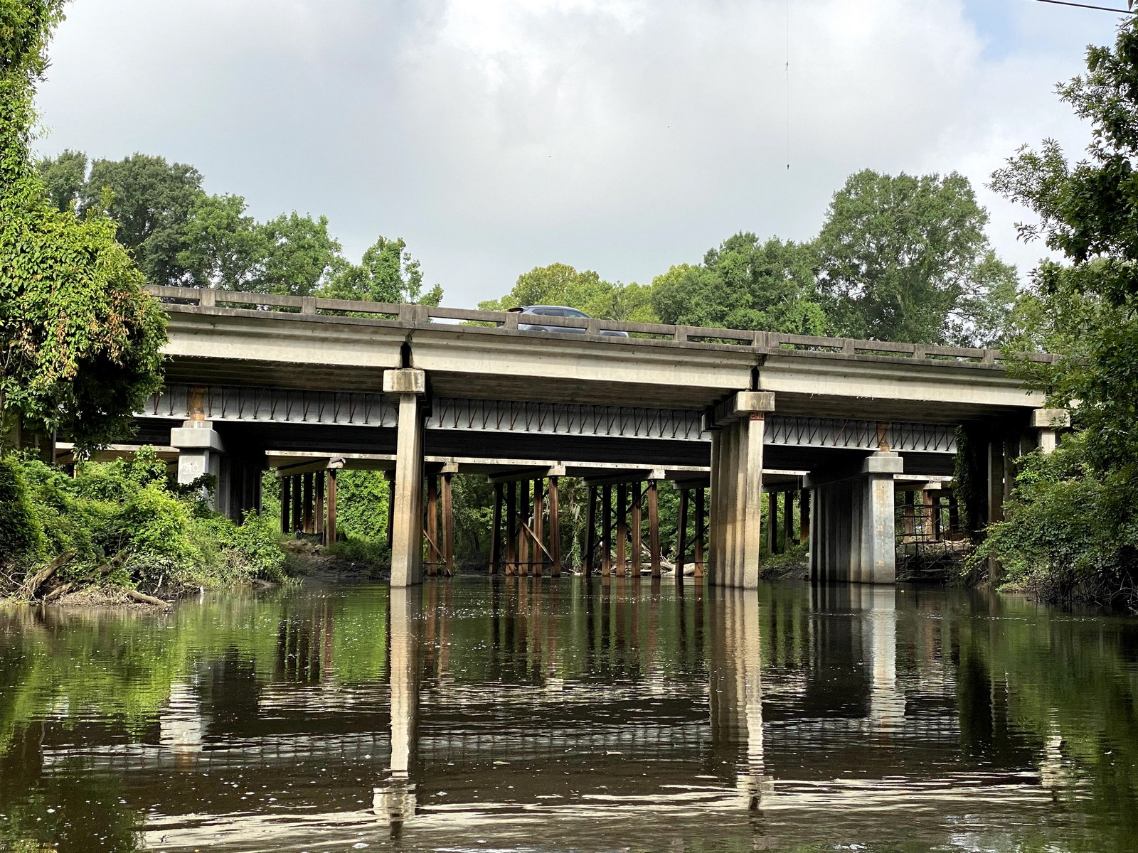
| 1917 | Bridge at Jefferson Hwy | First bridge at Jefferson Hwy over Manchac. Hampton’s Ferry discontinued. |
| 1917 | Old Jefferson Road | Earliest road between Baton Rouge and New Orleans on the high terrace around the east side of Bluff Swamp, back to the Mississippi river at Geismar. It crossed Bayou Manchac at Hope Villa (Hampton’s ferry.) It certainly existed long prior to 1917. |
| ~1920 | Cedar Grove Casino | Cedar Grove Casino was in operation on the south (Ascension) bank of Manchac on Old Jefferson Hwy. Now long demolished. |
| 1925 | End of logging | Lumber companies have largely harvested all economically viable timber. Many mills close, although a veneer mill operated in Ascension Parish near Bullion / Hope Villa. |
| 1927 | *Great Flood | Early rudimentary Mississippi River levees were overwhelmed by flood waters in this catastrophic event. |
| 1928 | Manchac cleared | Corps of Engineers de-snags navigable Manchac |
| 1931 | Second bridge at Jefferson Hwy. | A new, higher bridge was constructed over Manchac at Jefferson Hwy. (Hampton’s Ferry / Hope Villa) allowing navigation. |
| 1932 | Mastodon | An LSU Geography class recovers bones and teeth of a mastodon from Bayou Manchac. They are presently displayed at the LSU Museum of Natural History. |
| 1935 | Airline Highway | US 61 Airline Hwy is opened from New Orleans to Baton Rouge, making Jefferson Highway obsolete. |
| 1938 | Gravel Road on north bank | The trail following the Clark Rd. / Hoo Shoo Too Rd. route received gravel paving. |
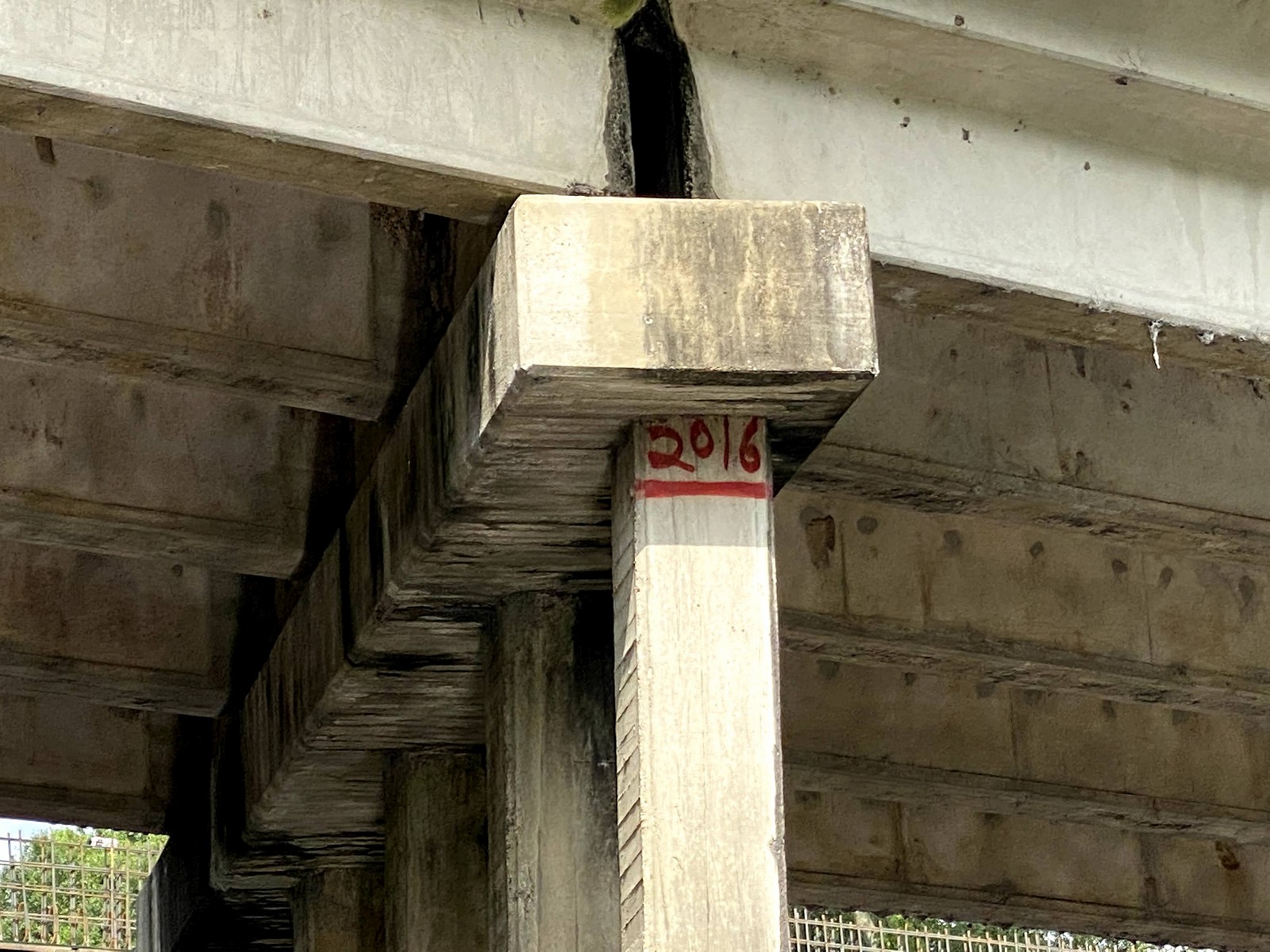
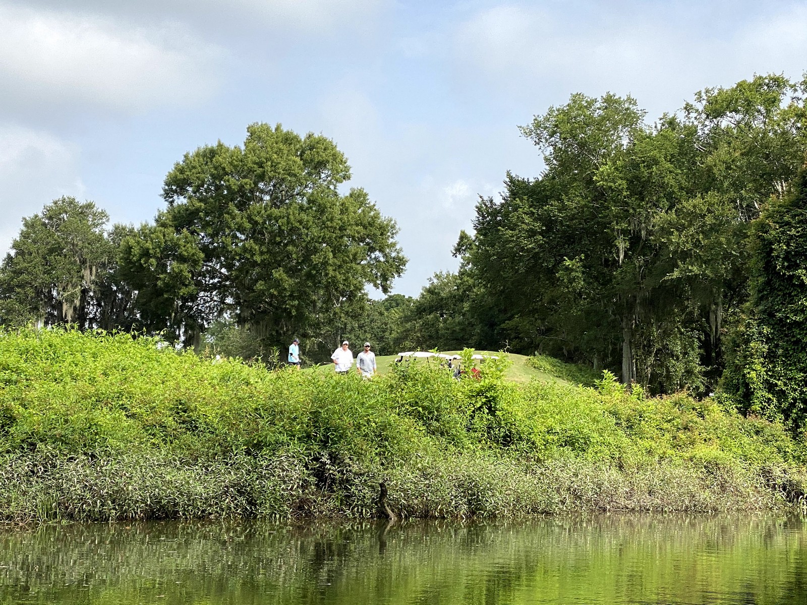
| 1938 | Kleinpeter Site | Six low mounds containing prehistoric artifacts along Manchac exist on the former Kleinpeter tract, currently the Country Club of Louisiana. Muirfield Circle now winds between the mounds. Four are in the public area and two are on private lots. Fred Kniffen first identified them in 1938. Development pressure for The Country Club caused the need for wetlands research, and an archeology team had and opportunity for investigations. Malcolm Schuman and Dennis Jones in 1990 conducted site research thanks to a BRAF-funded study encouraged by former land owner Ben Kleinpeter. |
| 1962 | Intracoastal Canal | The intracoastal barge canal from Morgan City was completed to Baton Rouge via Plaquemines Lock. This created political pressure to extend the Intracoastal eastward through the lakes into the Mississippi Sound via Bayou Manchac, saving 125 miles. It was deemed too expensive and incurred more opposition from Manchac residents. |
| 1965 | Audubon Estates | The first subdivision at the southeast corner of EBR Parish was Audubon Estates. |
| 1975 | Baton Rouge Growth | During the ‘70’s and ‘80’s Baton Rouge grew substantially and with comparatively little development controls into floodplains. Impervious surfaces proliferated. Flooding in the Manchac basin became more frequent and pollution worsened. |
| 1975 | Fish kill | A fish kill documented in Manchac caused by sewerage and poor quality storm-water runoff. |
| 1990 | Storm-water Detention Requirements | EBR adopted Land Development Regulations requiring on-site storm-water detention. Soon after, elevation certificates and base flood elevations were required to elevate structures above anticipated flood levels. |
| 1991 | Amite River Basin Authority | Amite River Basin Authority formed, but underfunded and focus is primarily the Comite Diversion Canal. |
| 2001 | Tropical Storm Allison | First big flood in recent history saw 21 inches fall directly on the watershed over four days. This was a precursor to the 2016 floods. |
| 2010 | Consent Decree (sewer) | Federal Consent Decree requires EBR Parish to improve sanitary sewerage systems. Improvements required by 2014. Some feel it desirable to seek “Maritime Heritage Landmark” status for Manchac, but poor water quality and adjacent land use situations prevent qualifying. |
| 2016 | Great Flood | Record setting flood of the region caused by a tropical depression which lingered over the region and points north. Rainfall totals were 24 to 31 inches over 3 days, exceeding rainfall totals in Louisiana of either Katrina or Isaac. |
Photos


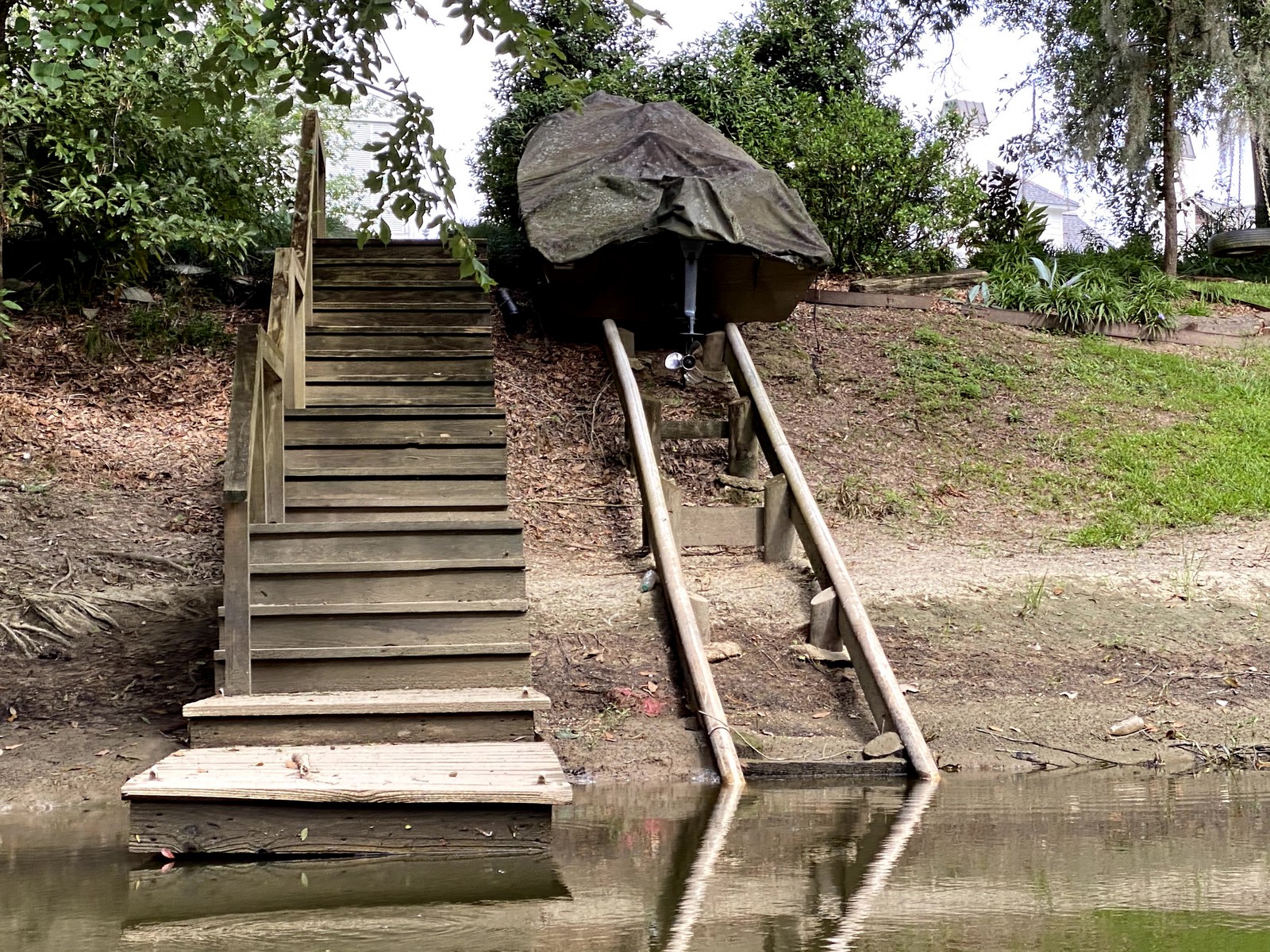
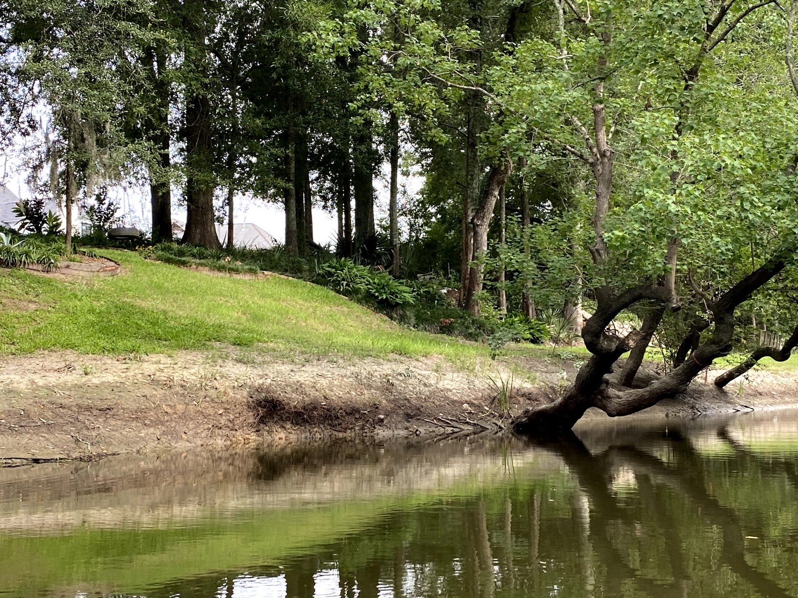
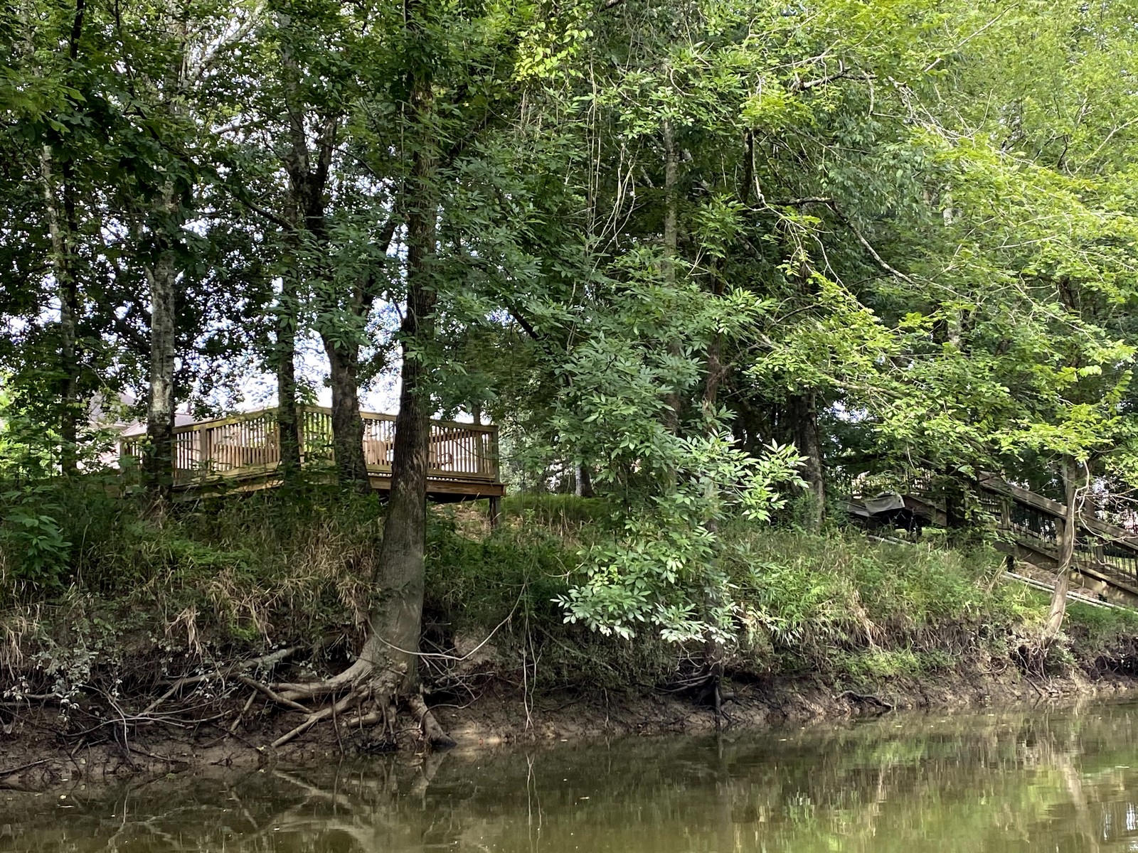

Video
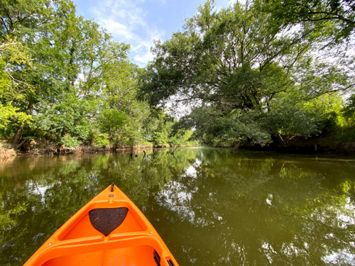
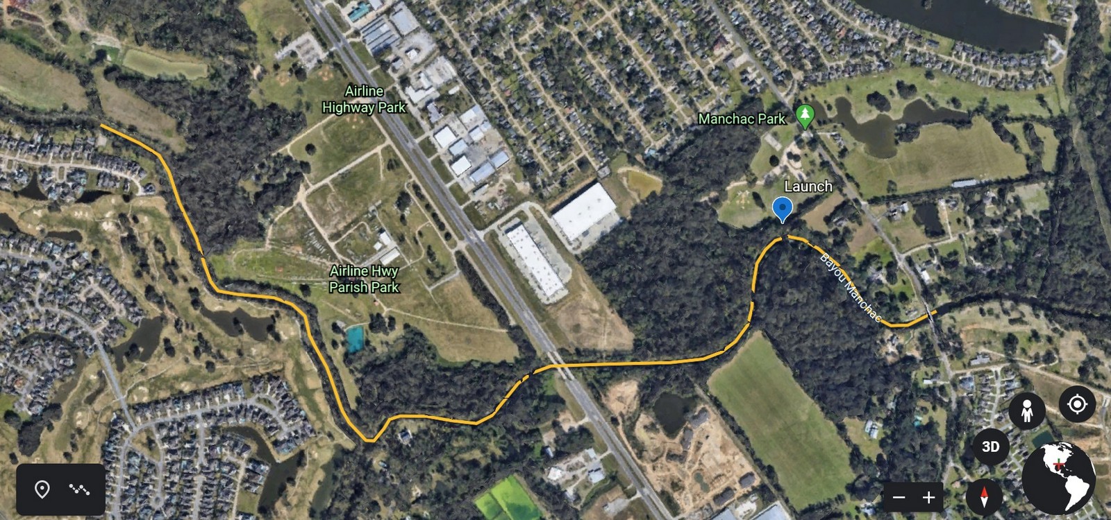
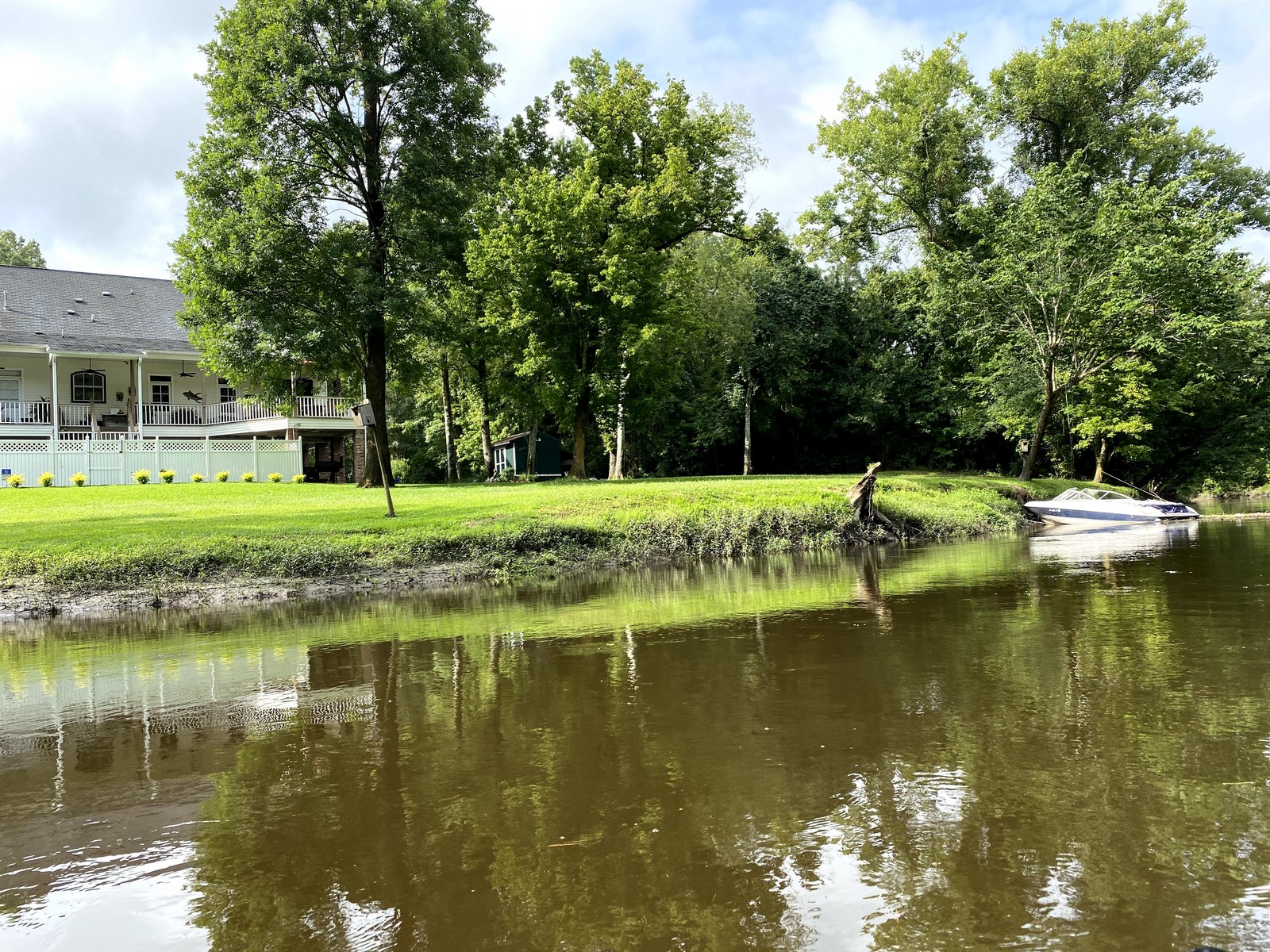
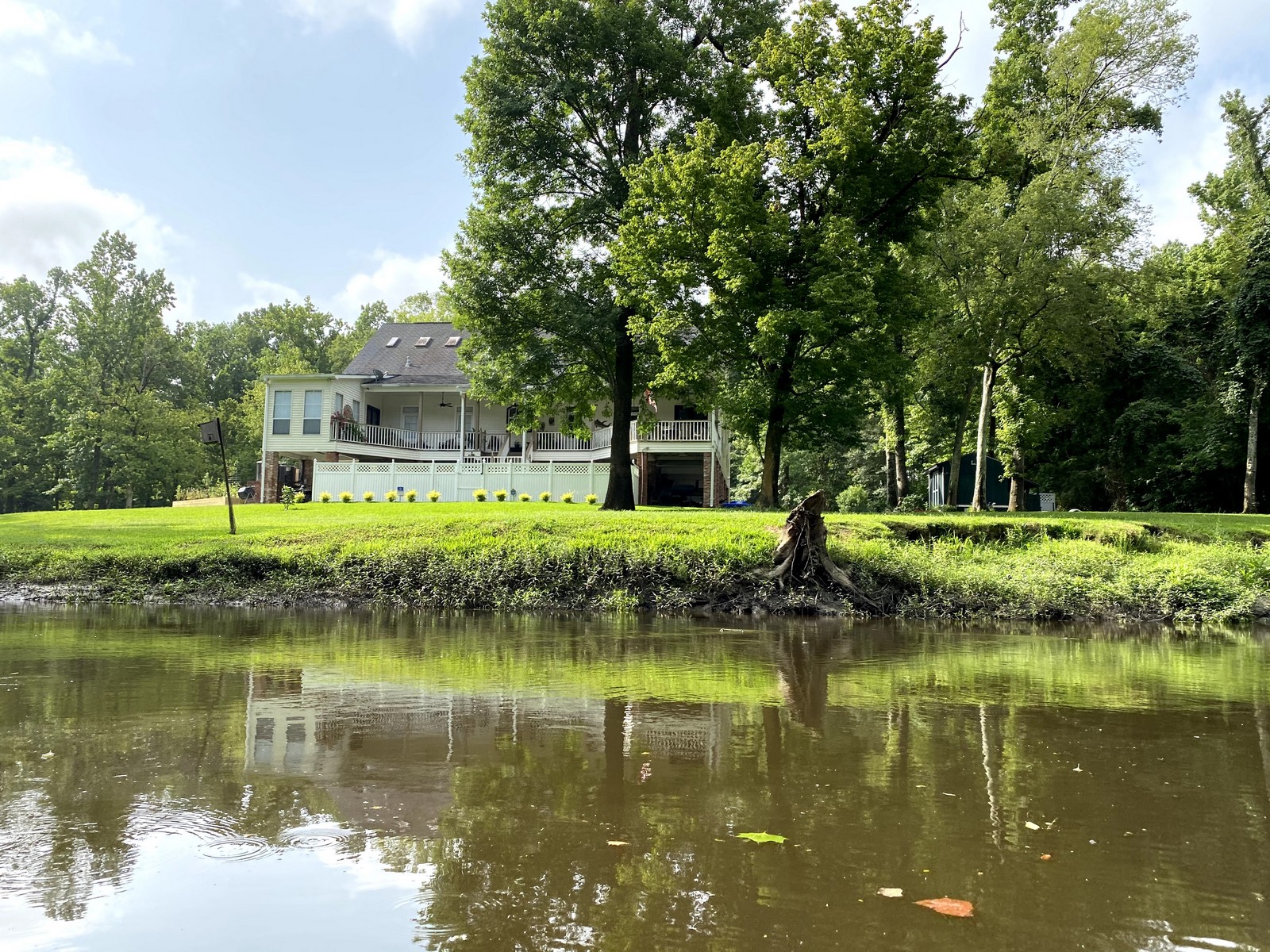
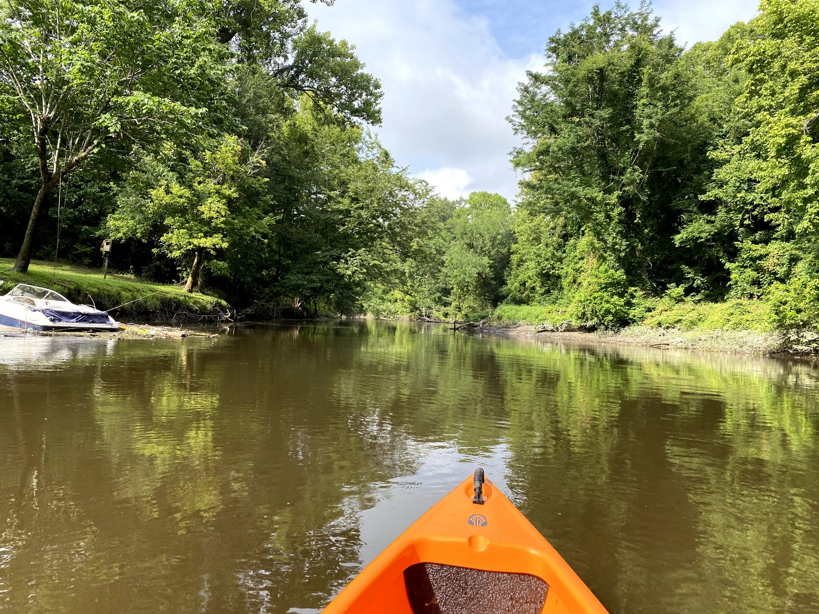
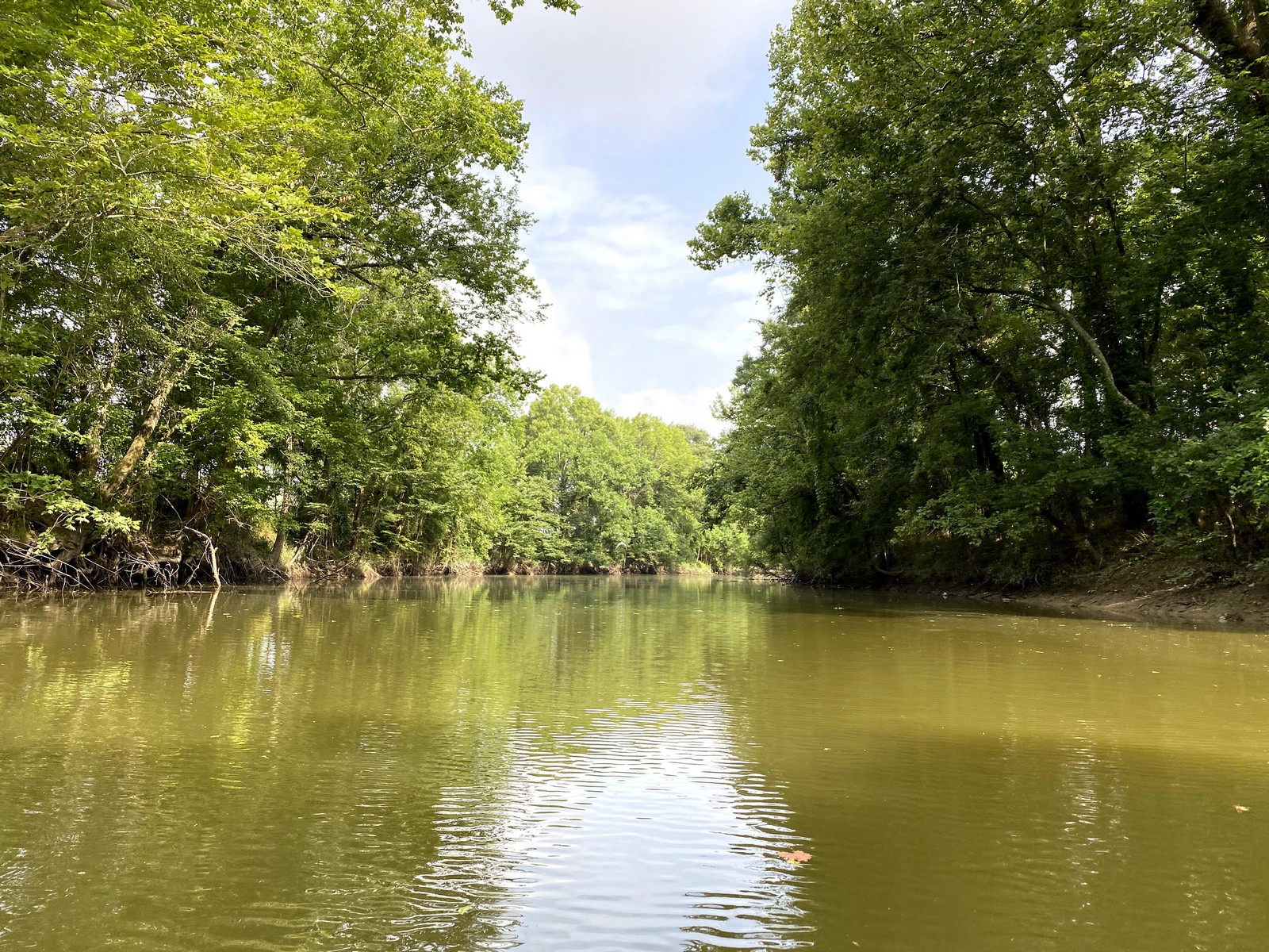
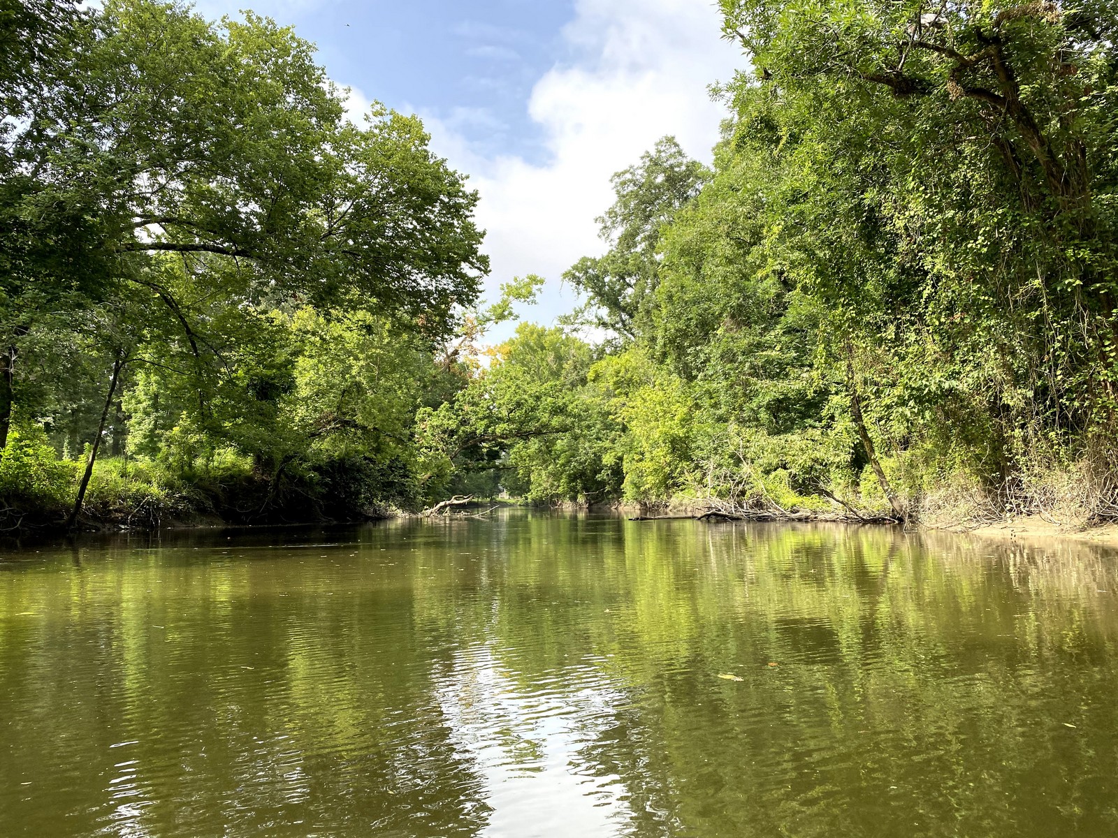
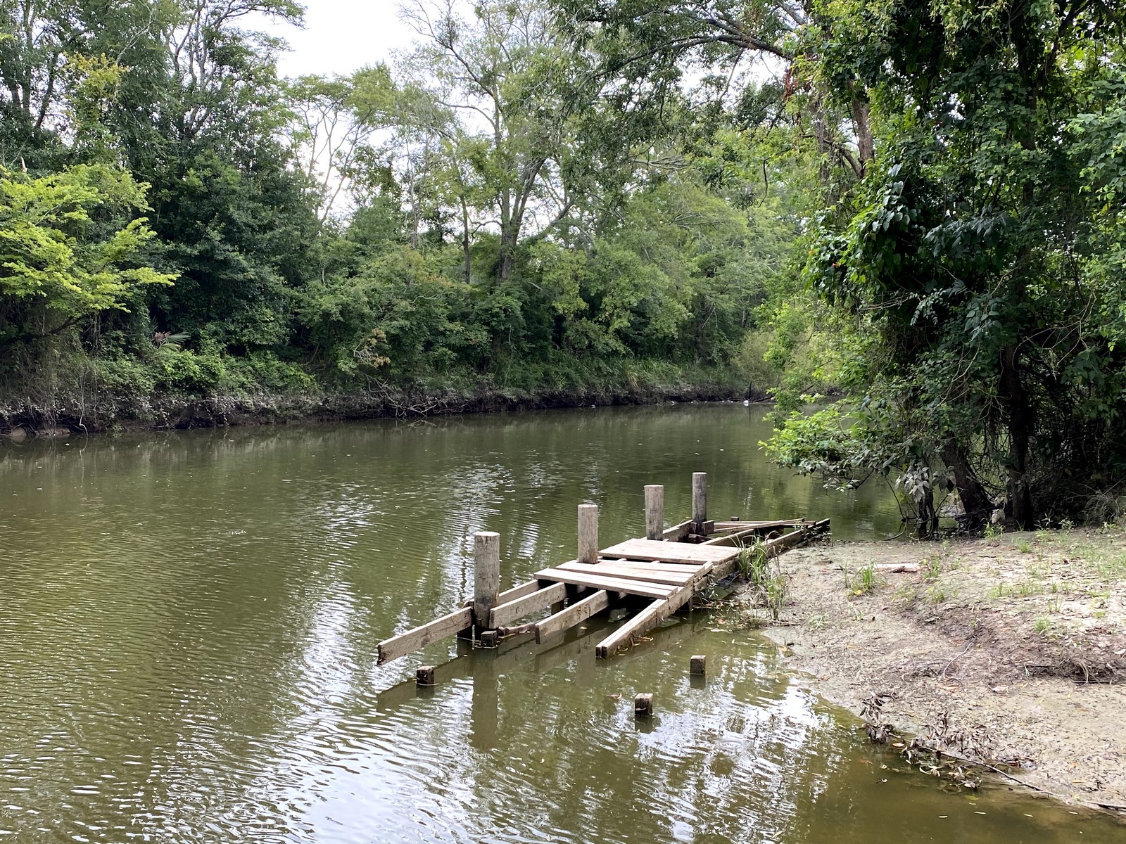
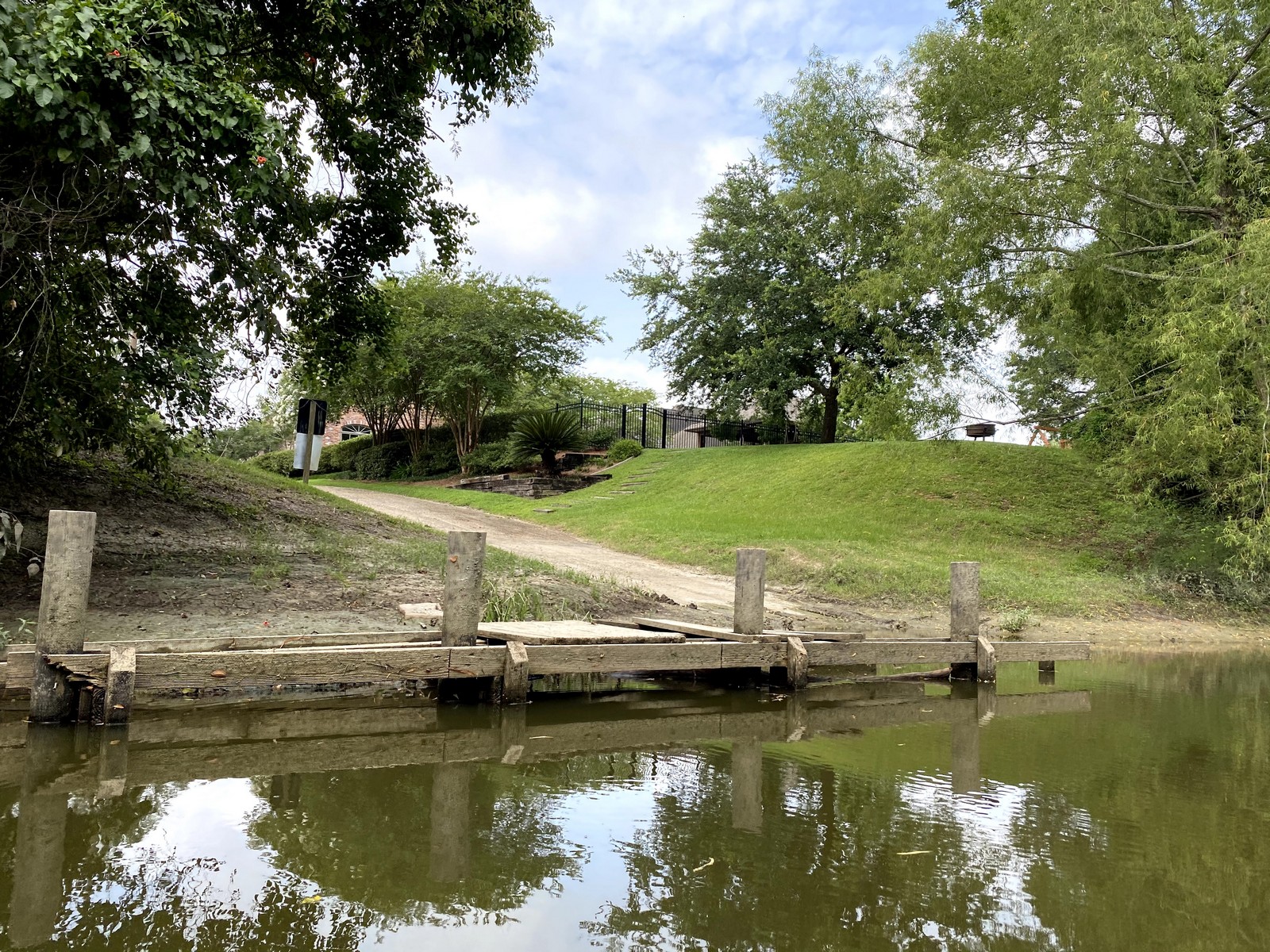
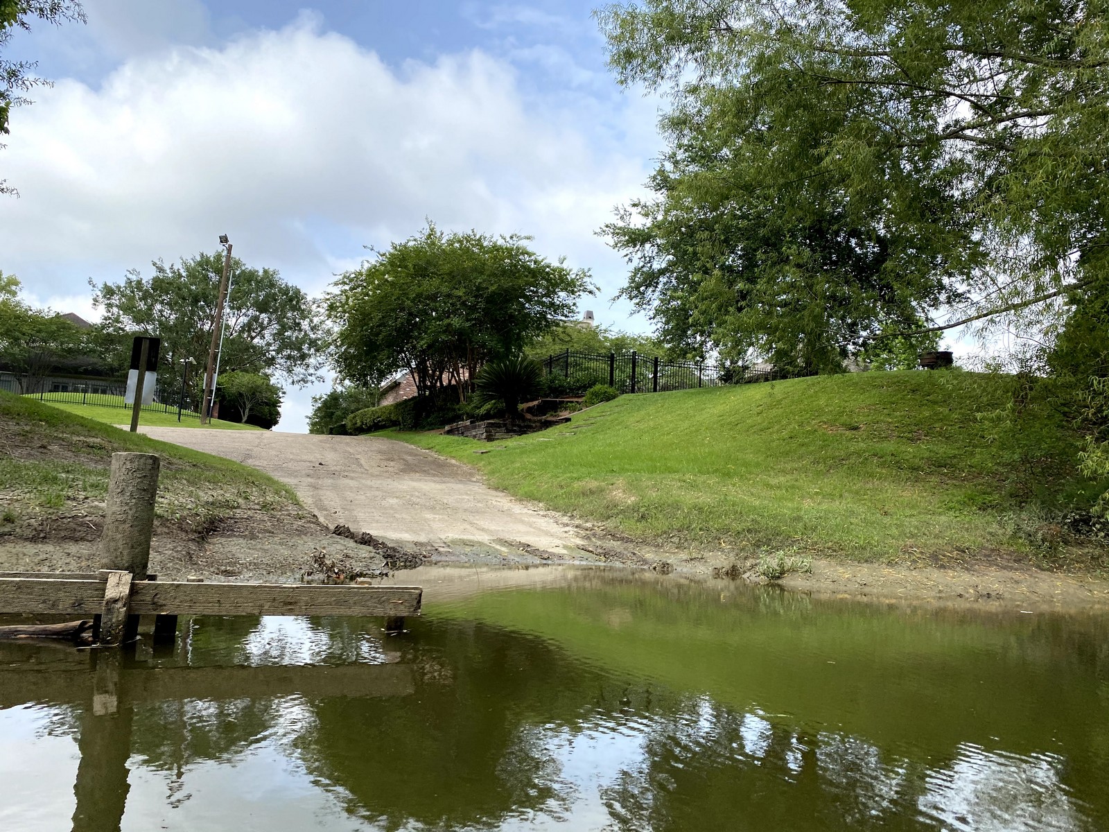
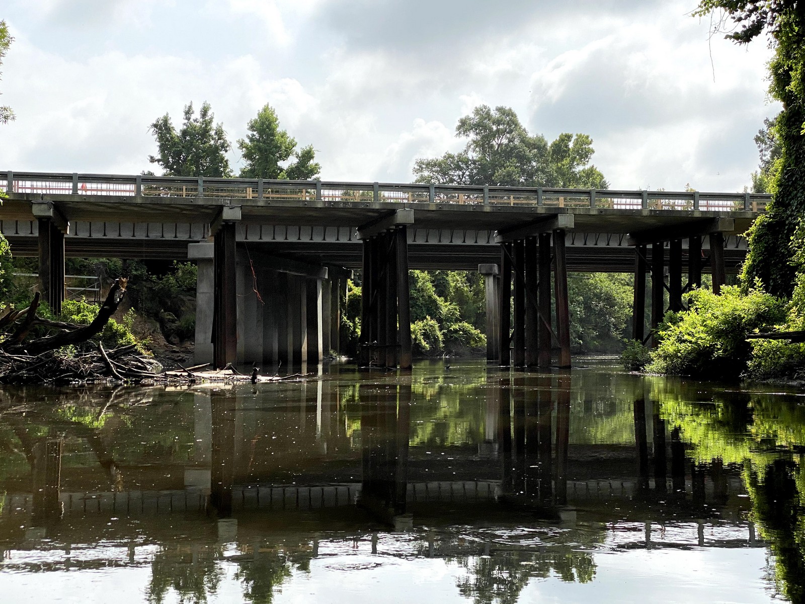
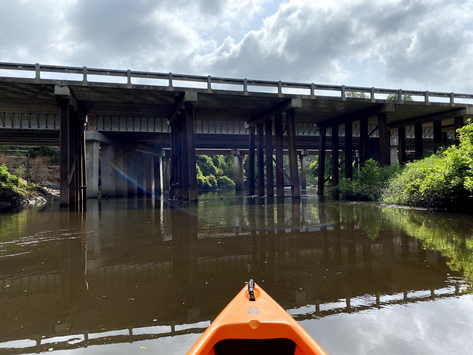
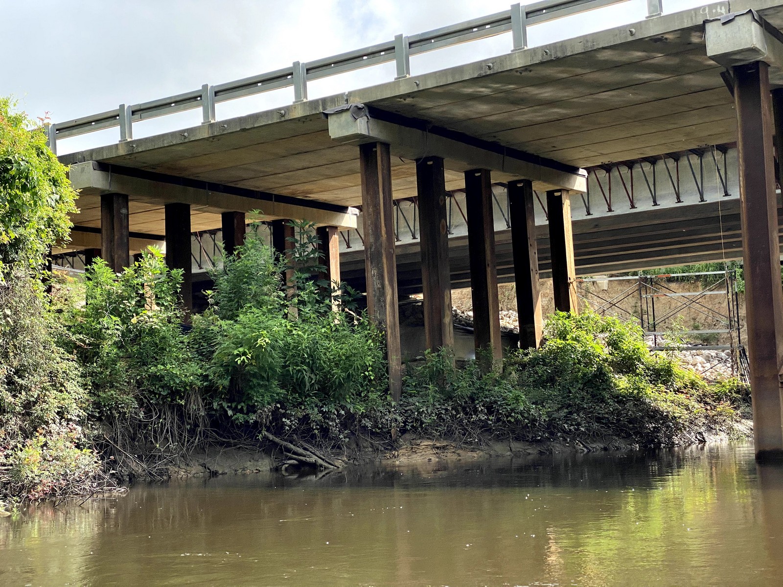
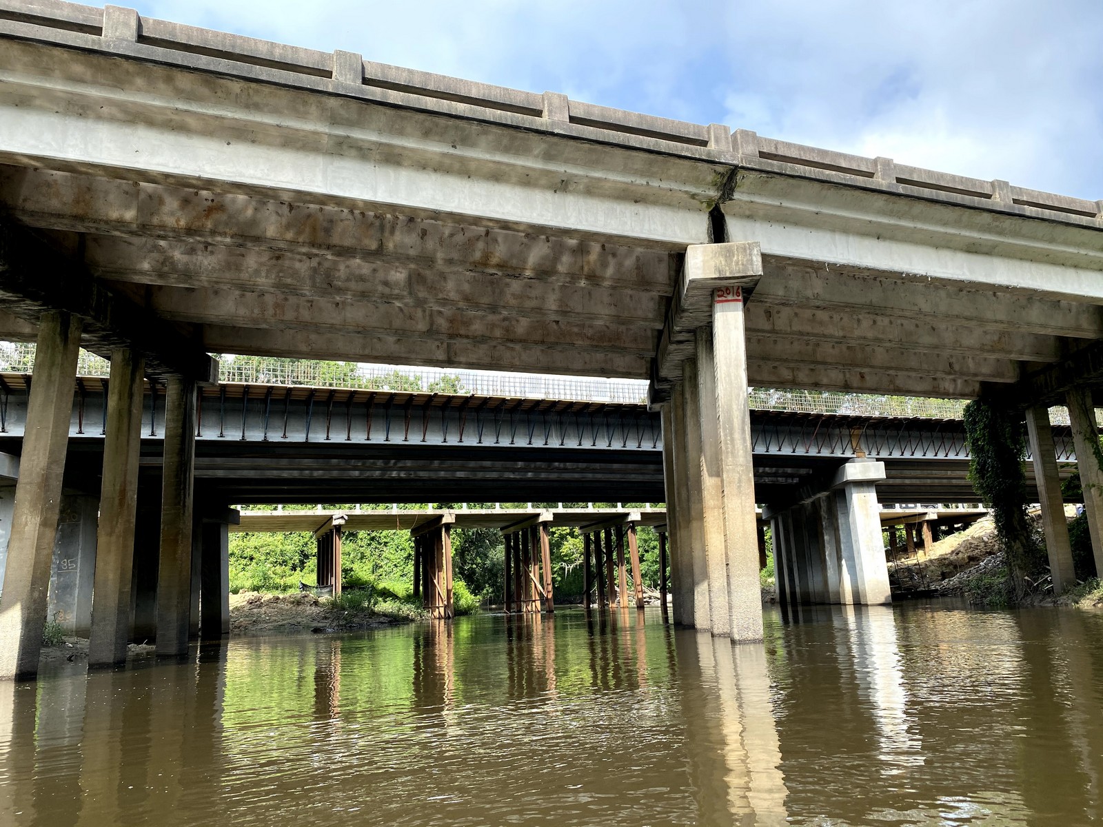
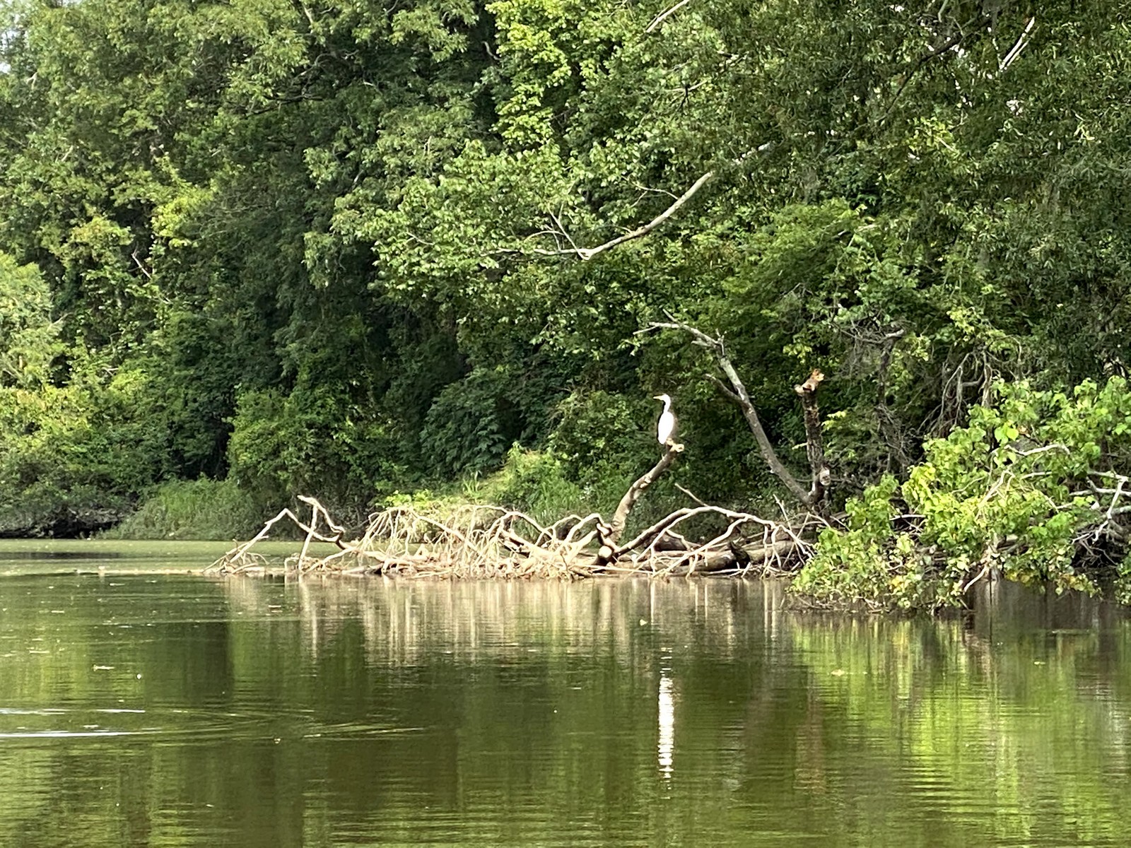
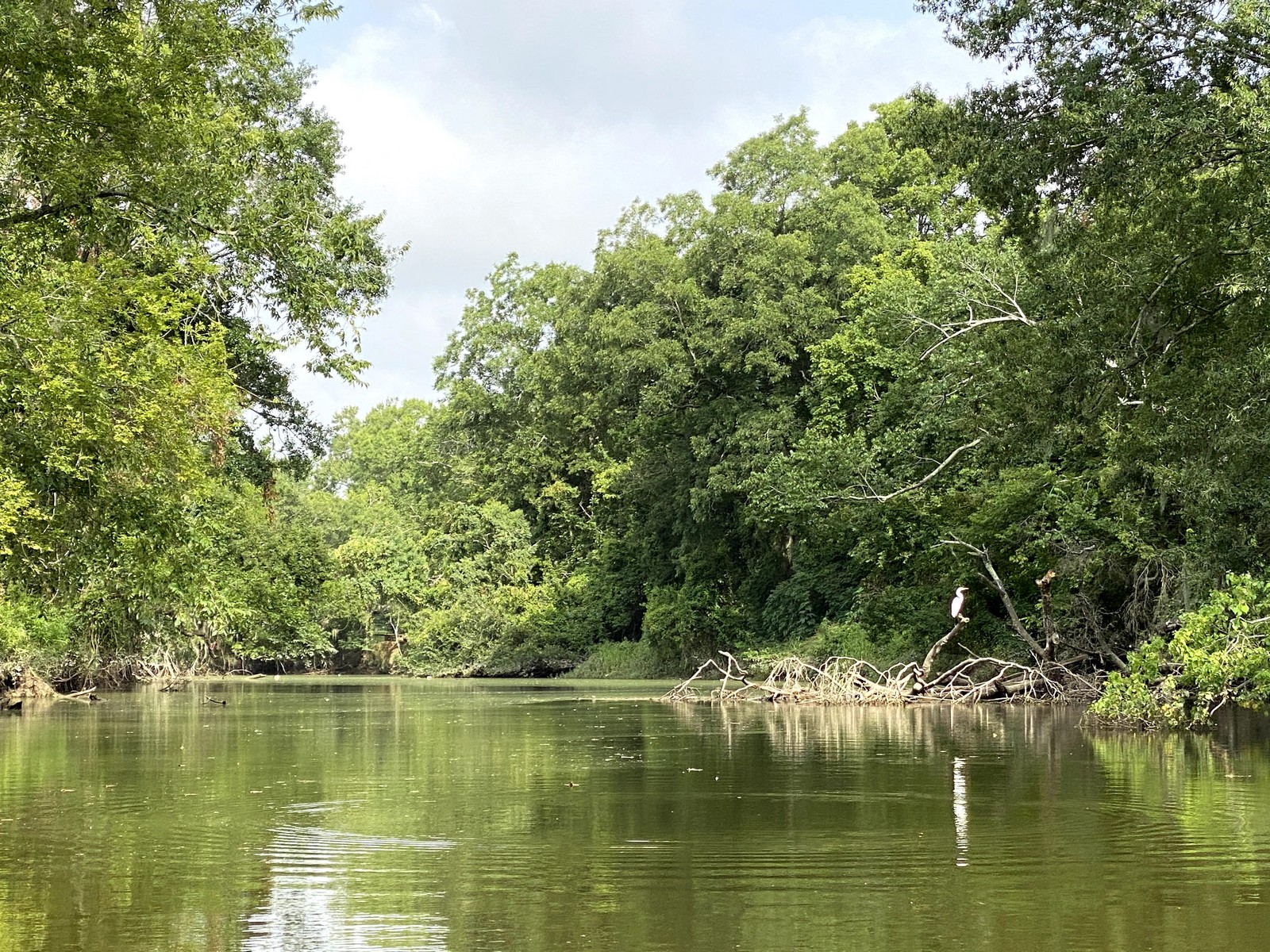
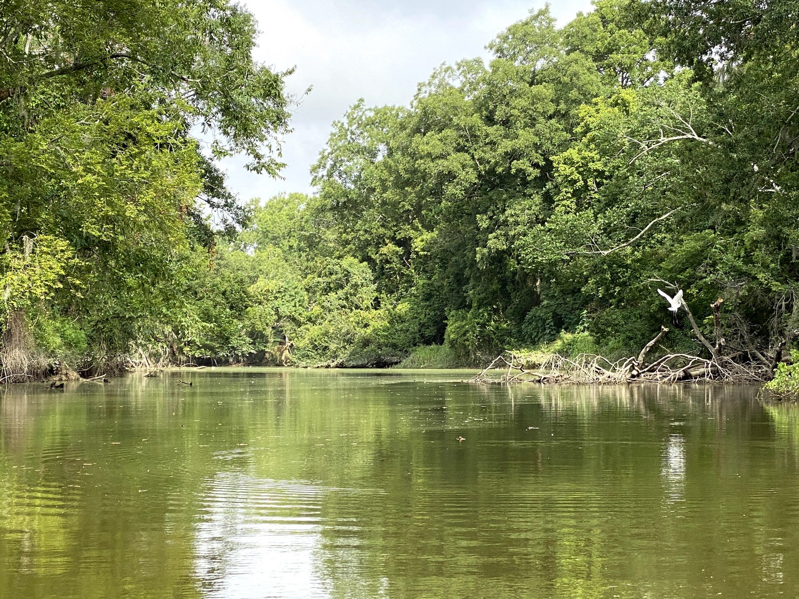
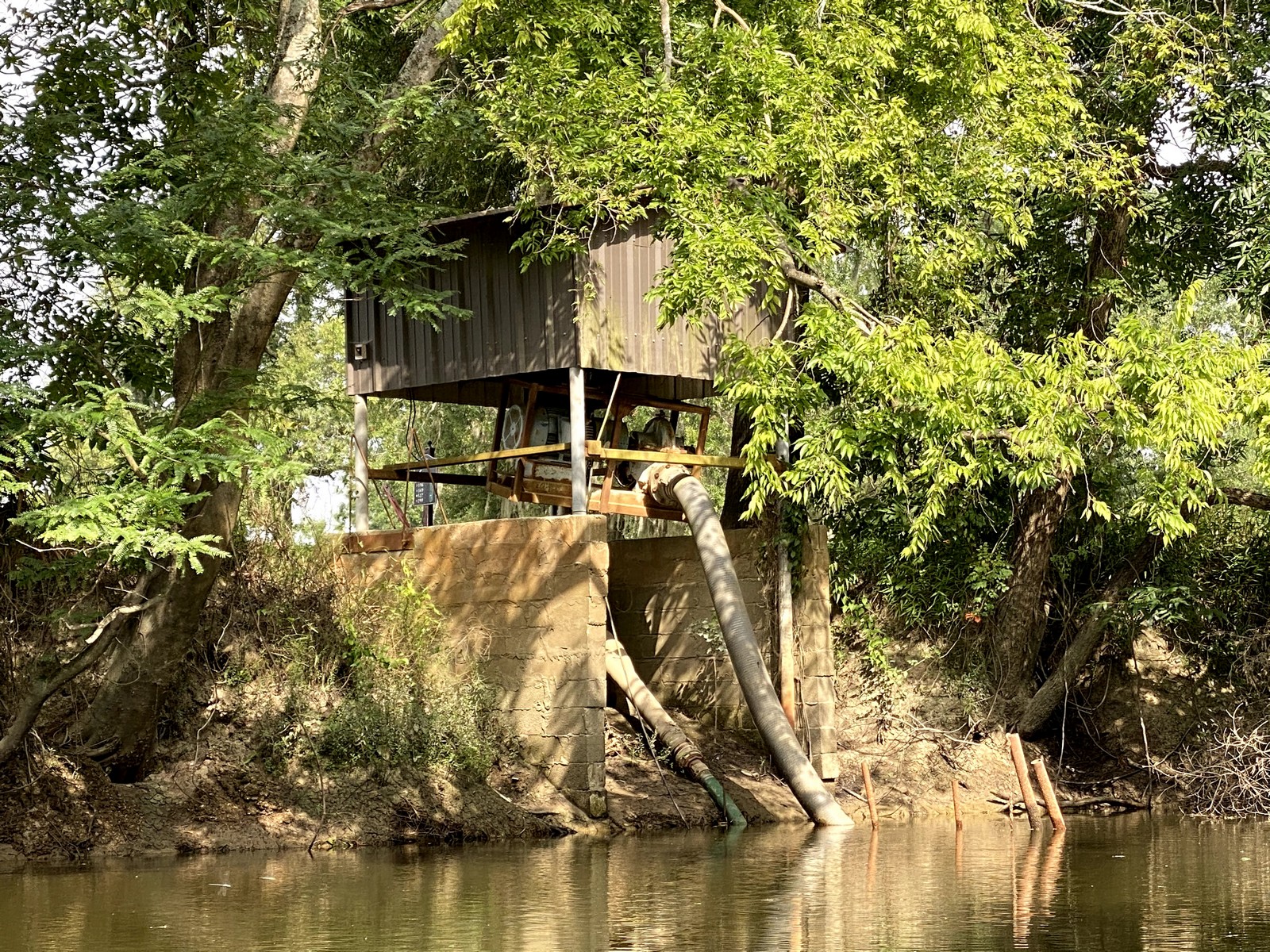
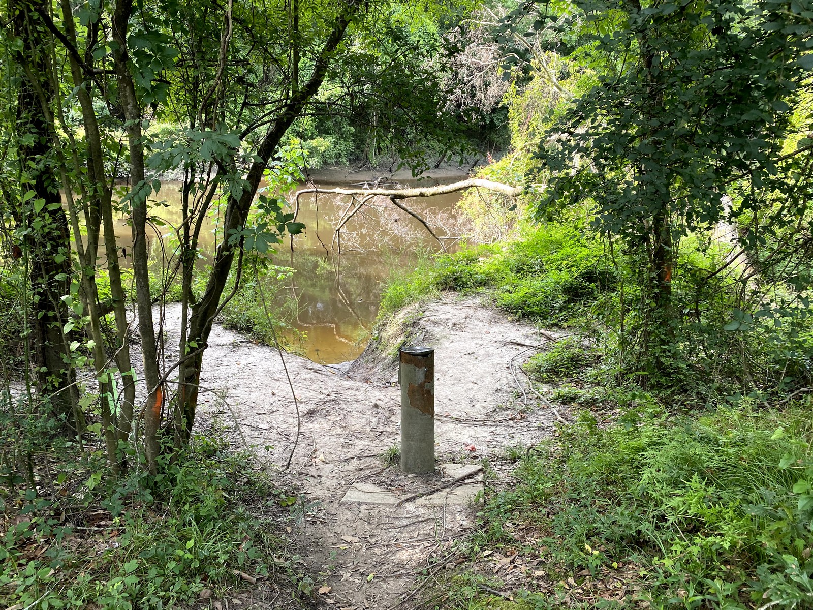
I paddled Bayou Manchac between Old Jefferson Highway and Santa Maria community on July 3, 2020. This video is the result. Obviously I’m not a Nat Geo camera-man… Next time I’ll mount the camera to the bow of the boat instead of my head and try to keep the sun behind my back.
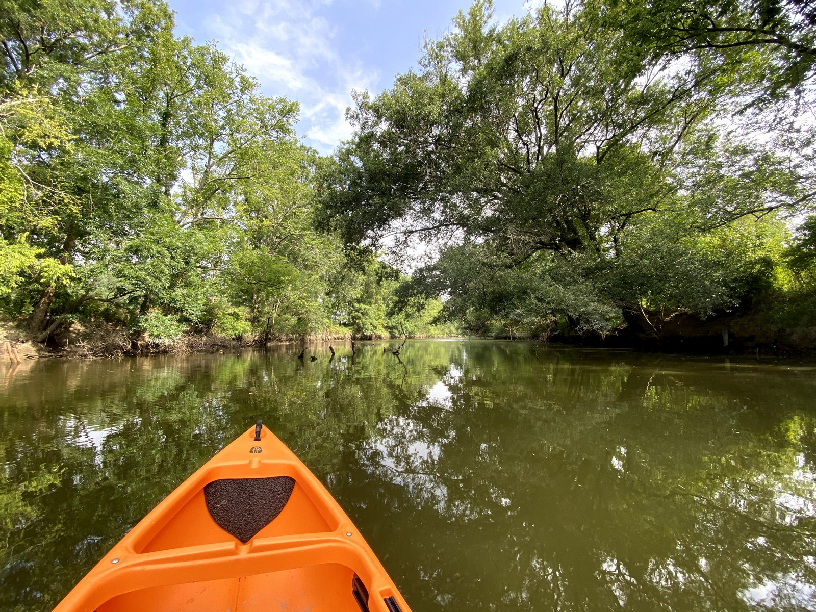
Below is a more recent paddle down the lower Manchac from Ducros Road ramp 3 miles to the Amite River with my friend Jude. We were paddling two of my recently completed plywood stitch-and-glue kayaks, one of them named Manchac. Winter, 2023.
Watersheds
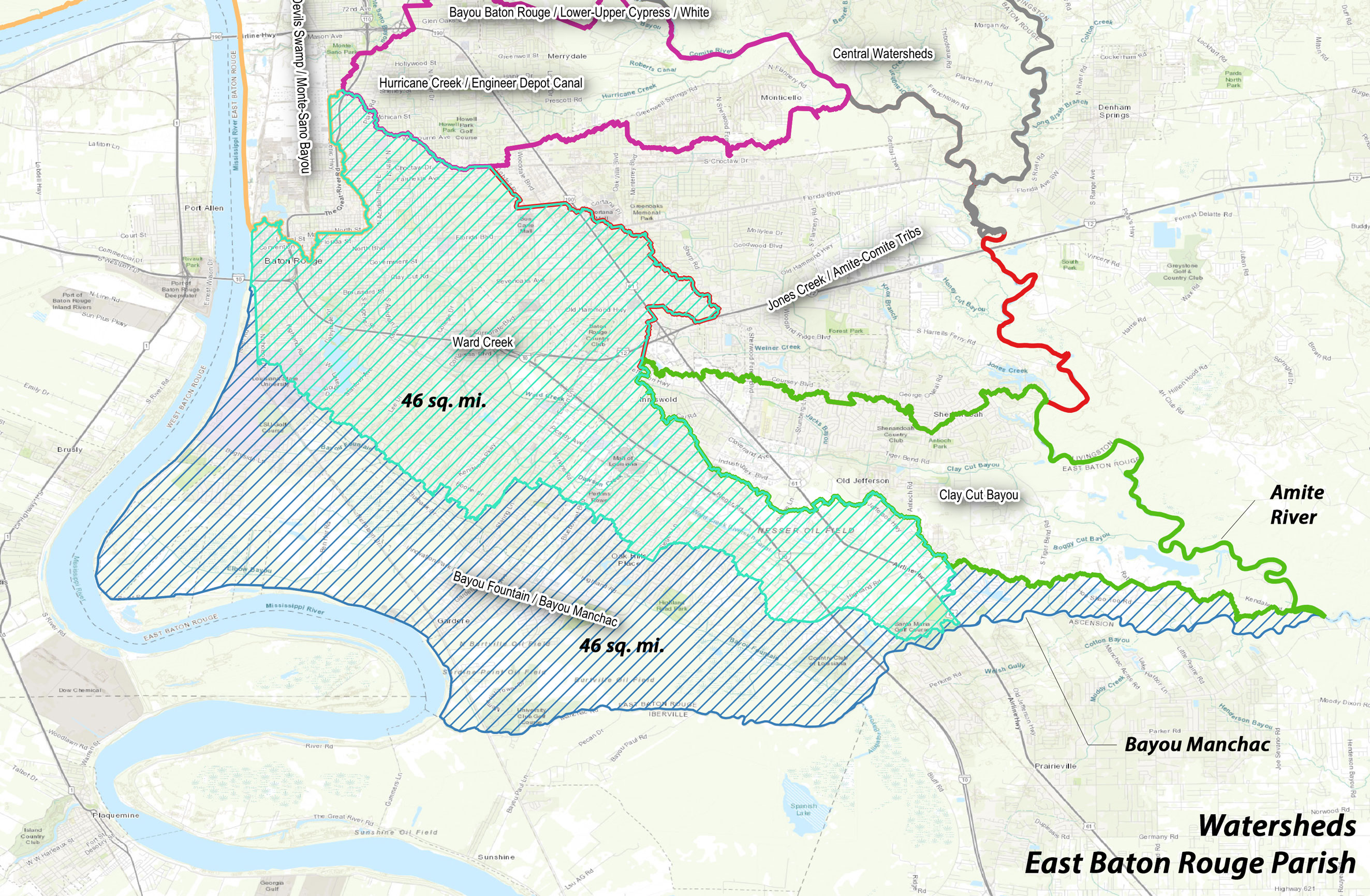
Bayou Manchac drains two watersheds of East Baton Rouge and adjoining parishes. Really, it is one and a half, as only half of the Manchac watershed is within EBR parish. The Ward Creek watershed drains 46 square miles of EBR and, coincidentally, the EBR half of the Bayou Manchac watershed is another 46 square miles. Together, this represents 20% of EBR parish including most of the City of Baton Rouge. (This is evident on the watershed map provided in the image gallery above.) But water does not exclusively travel down the bayou. During severe flood events such as tropical storms, flood waters can back up into the Manchac basin from the Amite River.
Water Quality
LA DEQ takes samples and monitors water quality at sites across Louisiana including several along Bayou Manchac.
waterdata.deq.louisiana.gov